@landrush/martini-terrain-provider
Overview
On-the-fly meshing of raster elevation data for the CesiumJS virtual globe
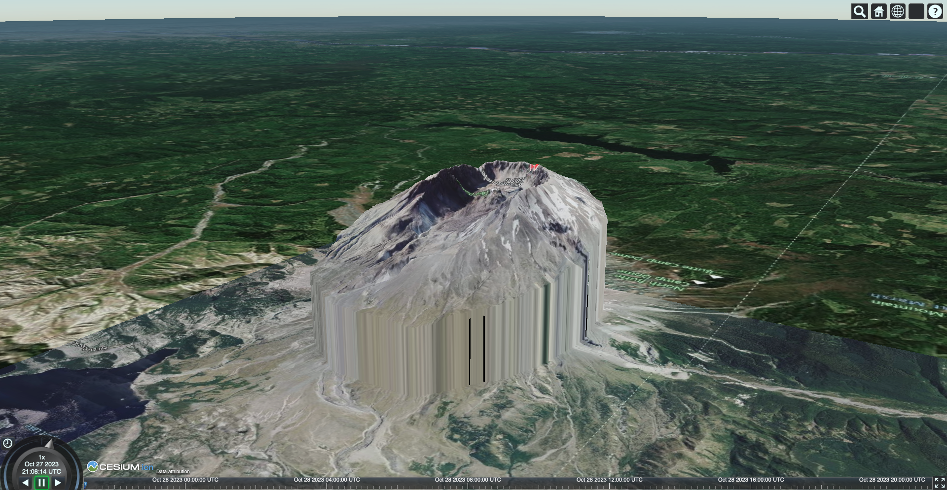
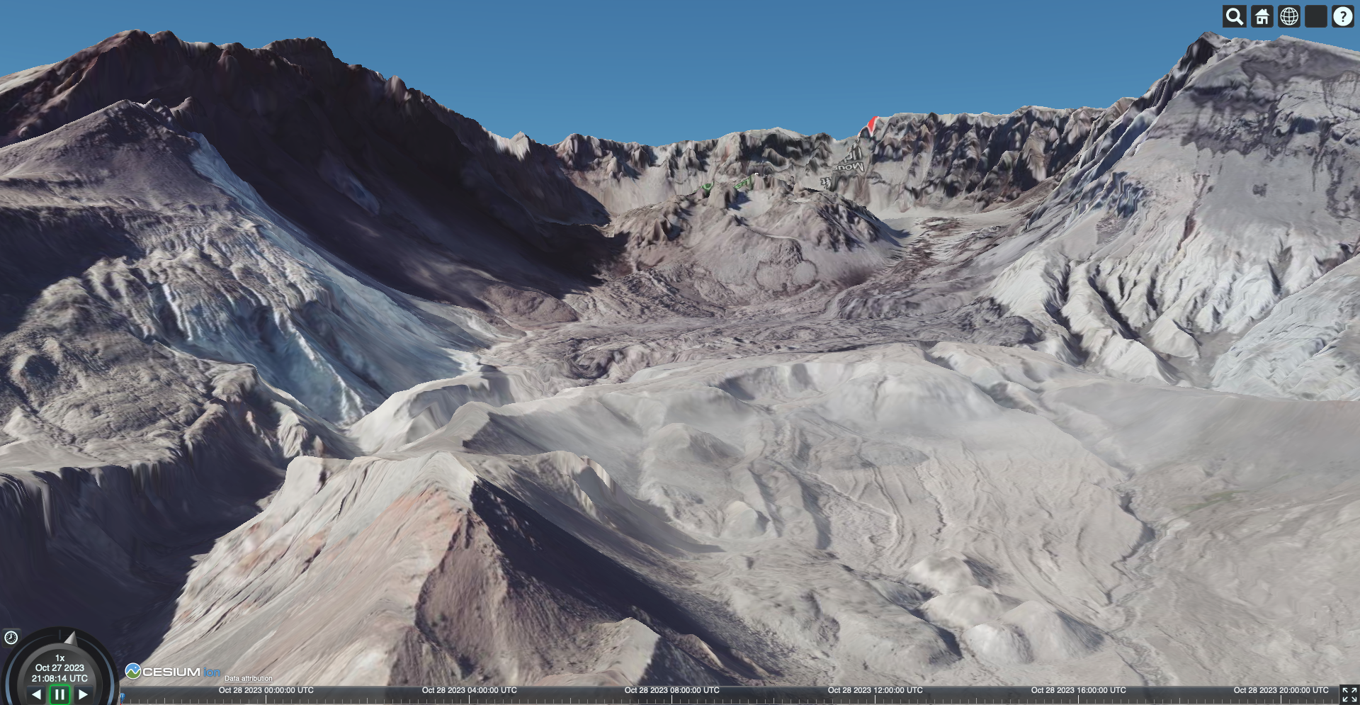
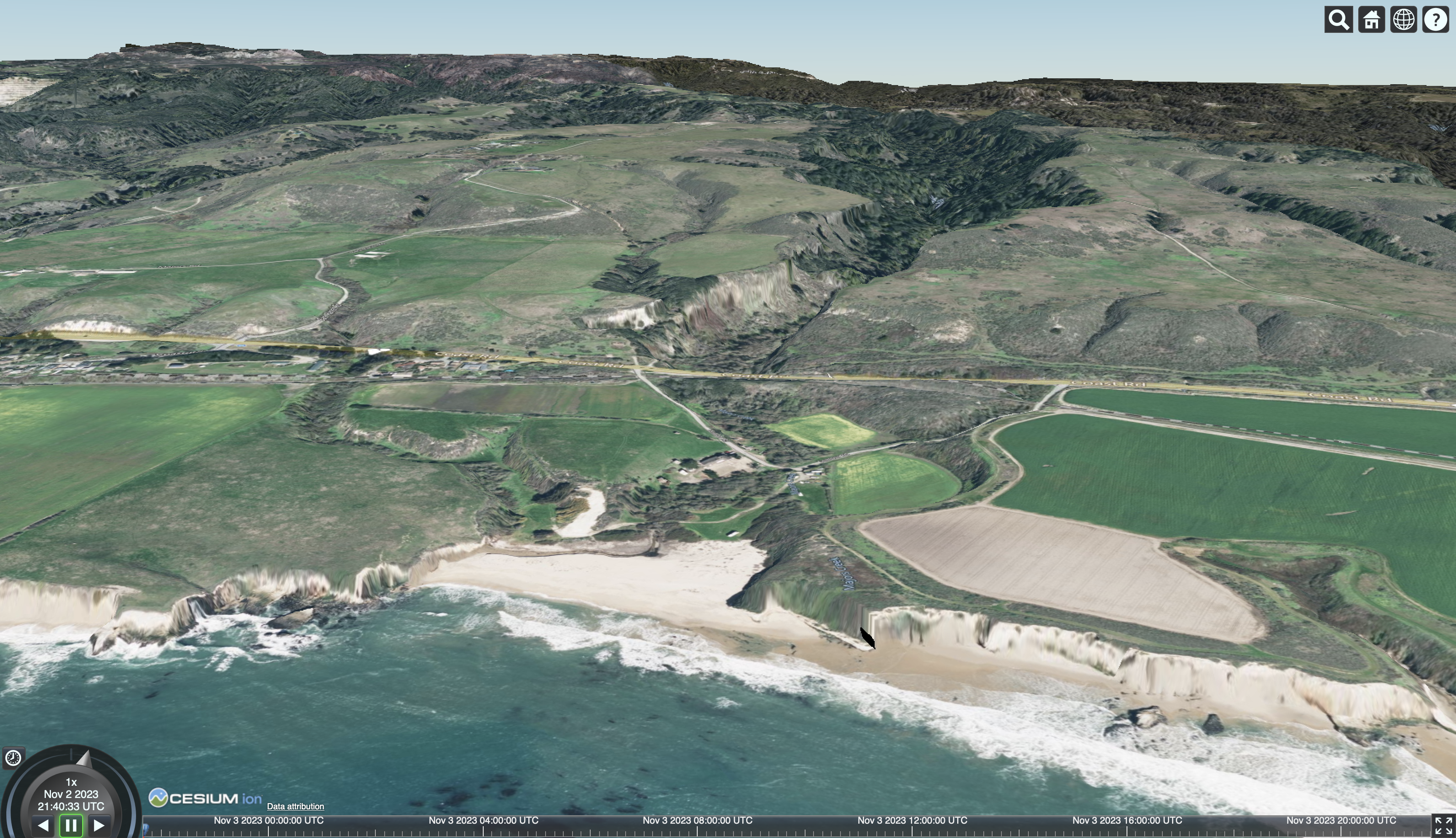
This package contains a Cesium.TerrainProvider that uses right-triangular irregular networks (RTIN) pioneered by Mapbox's Martini to transform arbitrary Cloud-Optimized GeoTIFF (COG) rasters into quantized mesh terrain, for rendering in the CesiumJS digital globe.
This package relys on geotiff.js to read COG rasters, and geotiff-geokeys-to-proj4 plus proj4 to project the requested bounds - as a result, this package falls to the same limitations as those packages.
Getting Started
This package is still in its early stages and anything may change at any point
Installation
This package is listed on NPM as @landrush/martini-terrain-provider. It can be installed using the command:
npm install @landrush/martini-terrain-provider
Usage
import { Viewer, Terrain } from 'cesium'
import { MartiniTerrainProvider } from '@landrush/martini-terrain-provider'
const sources = ['url', new File()]
const provider = MartiniTerrainProvider.fromSources(sources, { ...options })
const viewer = new Viewer('cesiumContainer', {
terrain: new Terrain(provider),
})
Development
If you'd like to contribute, follow the steps detailed in the repository QUICKSTART.
Additional Info
Contact
Contact Cameron of Hobu, Inc. for questions or comments relating to this project